On the Radar · GIS Day 2026
Powering Purpose & Innovation
GIS is powered by people.
In commemoration of GIS Day 2026, GISSTT is highlighting members of our geospatial community and the diverse ways they are applying GIS and geospatial technology across professional practice.
GIS Day 2026
Meet the GISSTT Community
Perspectives from across our geospatial community.
Education & Research
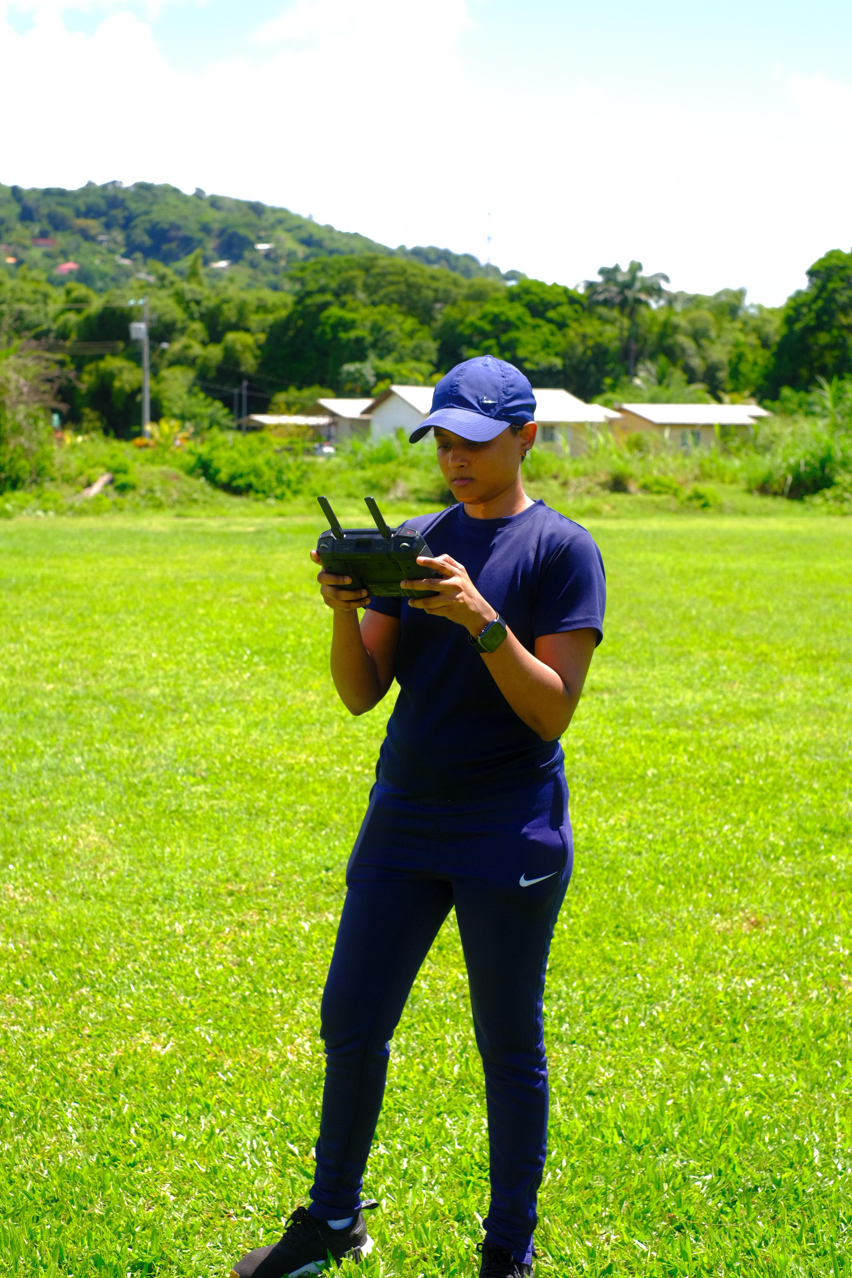
Dr. Amrika Maharaj
Lecturer · The University of the West Indies
“The most rewarding part of working in GIS is not simply creating maps, but using your knowledge to make a meaningful difference.”
Read Dr. Maharaj's Perspective →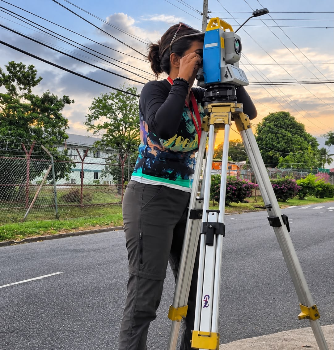
Education & Research
Anushka Ramnath
Demonstrator · The University of the West Indies
“GIS is not confined to a single profession; its versatility allows you to combine your interests and skills to make meaningful contributions across multiple fields.”
Read Anushka's Perspective →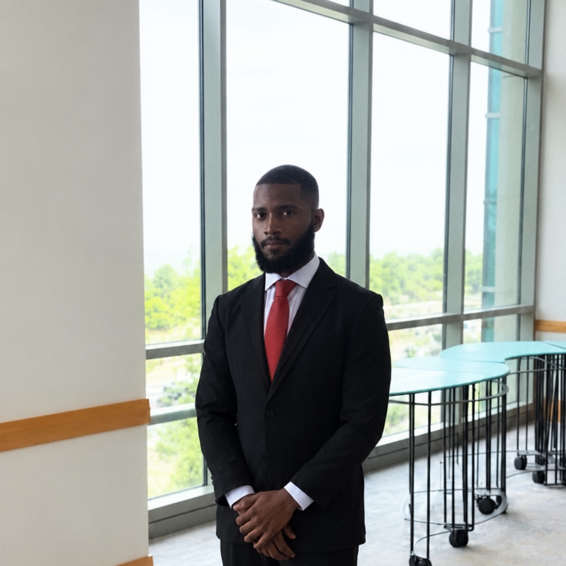
Utilities & Energy
Shaquille Rawlins
GIS Analyst · Ministry of Energy and Energy Industries
“GIS becomes particularly powerful when you understand the subject matter behind the data.”
Read Shaquille's Perspective →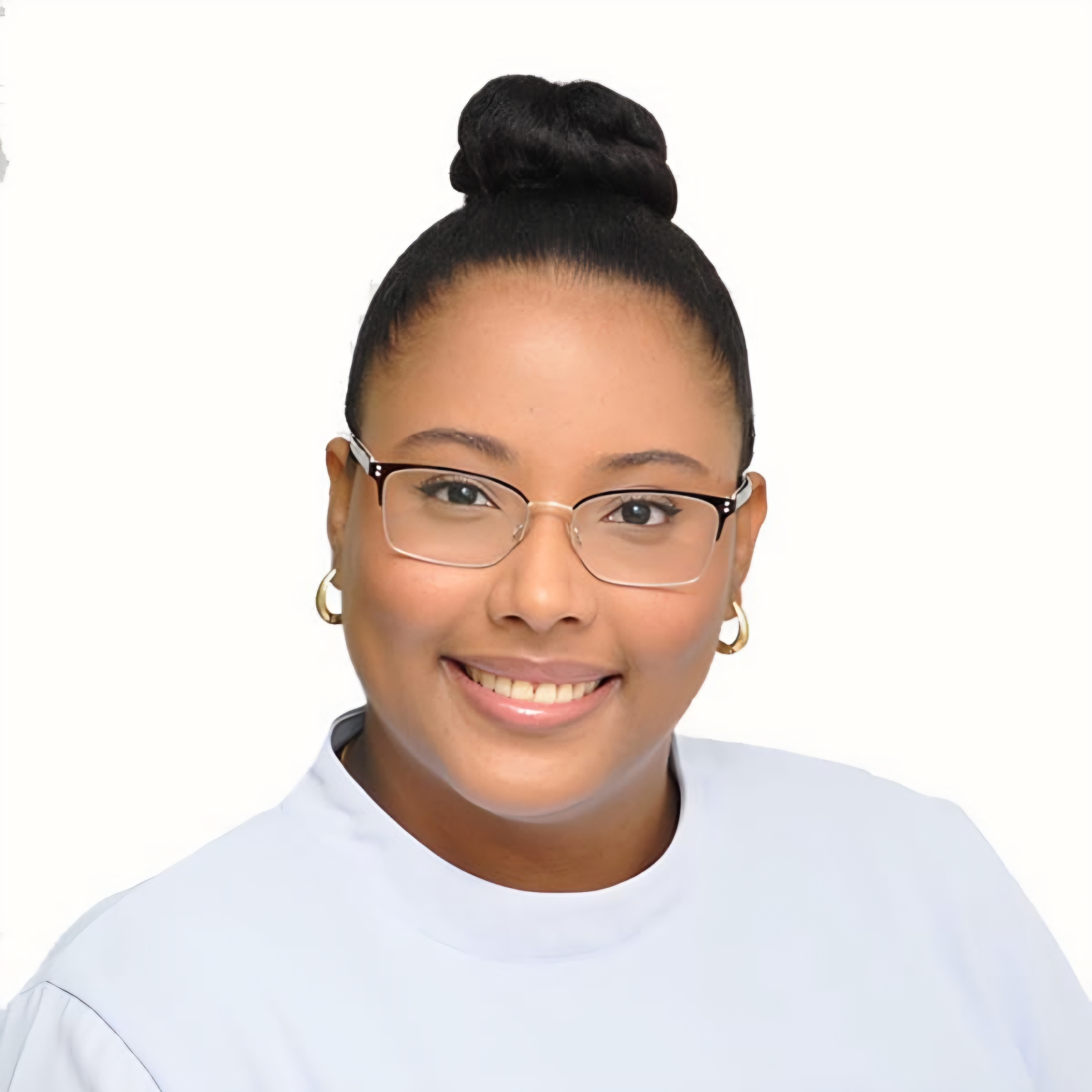
Disaster Risk Management
Jade Rodriguez
Field Assistant · Regional Corporation
“GIS is more than just creating maps; it is a driver of groundbreaking insights across almost every industry.”
Read Jade's Perspective →
Disaster Risk Management
Shania Seurattan
Graduate · Disaster Risk Management
“Use what you learn, pursue the questions that interest you and look for opportunities to apply your knowledge to real-world challenges within your own community.”
Read Shania's Perspective →
Coastal & Environmental Applications
Rayna Sookdeo
Remote Sensing Research Officer · Institute of Marine Affairs
“GIS goes far beyond the map. It transforms raw data into apps, live dashboards and interactive tools.”
Read Rayna's Perspective →
Security & Public Safety
Shane Ragbir
Chief Data and Command Center Officer · Amalgamated Security Services Ltd
“Focus on the problem, not just the software.”
Read Shane's Perspective →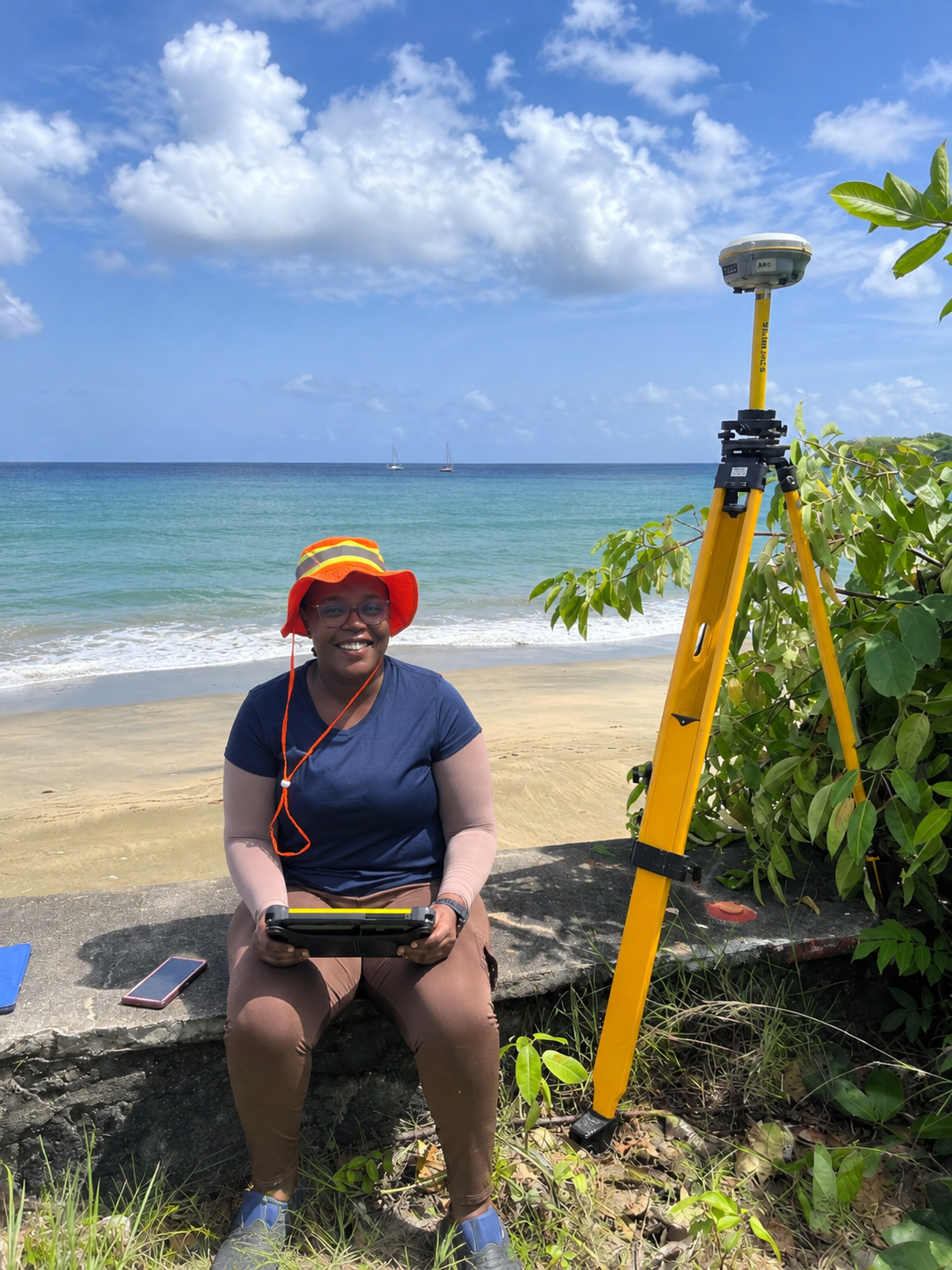
Environment & Conservation
Rennada Bowles
Hydrographer · Tobago House of Assembly
“GIS is much more than creating maps or identifying locations. It connects location-based information with real-world conditions.”
Read Rennada's Perspective →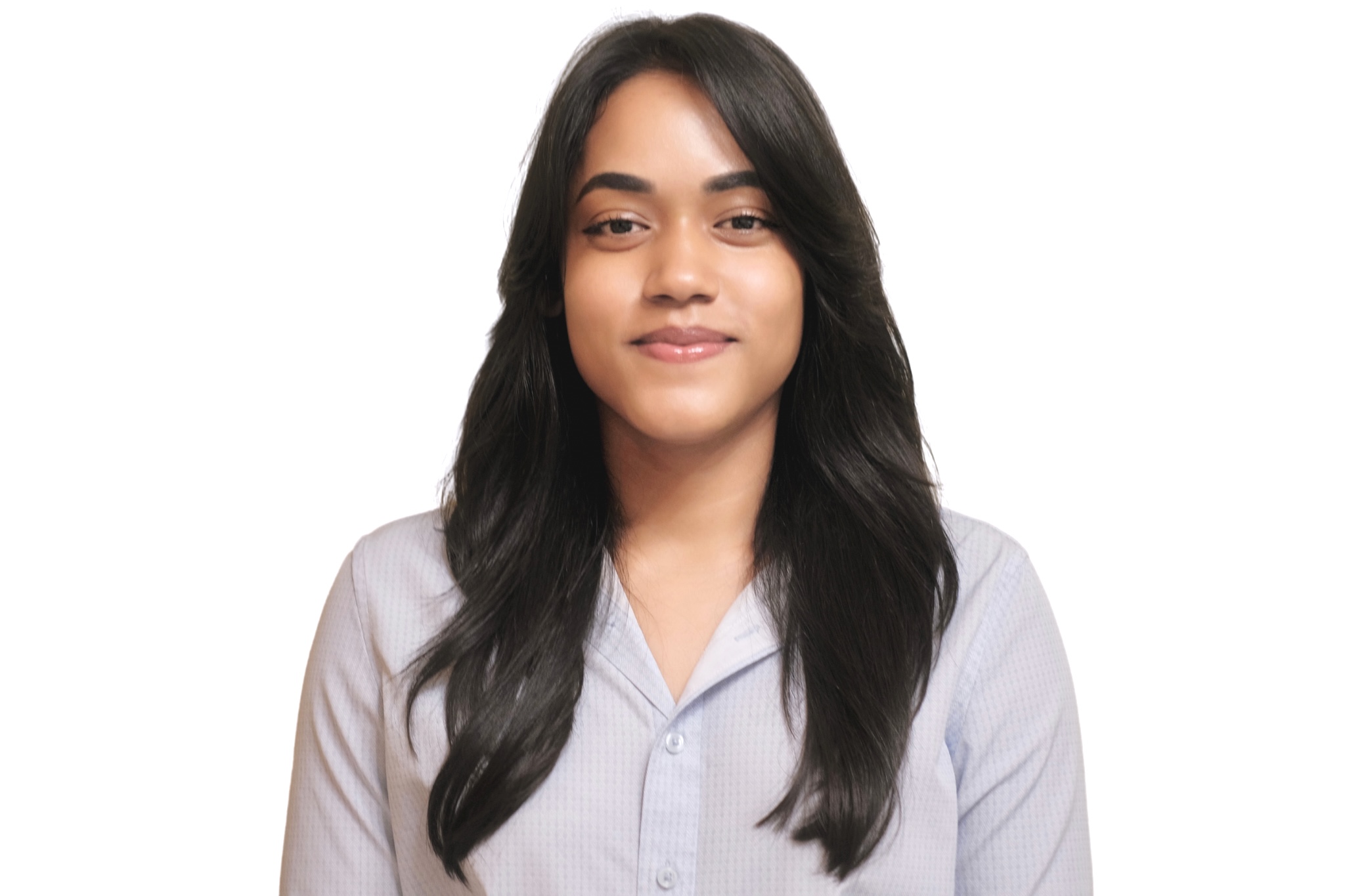
Disaster Risk Management
Cassie Roopnarine
GIS Specialist · Caribbean Disaster Emergency Management Agency
“GIS and subject-matter expertise should complement each other.”
Read Cassie's Perspective →
Telecommunications
Demi Singh
GIS Analyst · Telecommunications Authority of Trinidad and Tobago
“The true power of GIS lies not in the maps we create but in the problems we solve and the lives we improve.”
Read Demi's Perspective →
Disaster Risk Management & Climate Resilience
Melissa Jittan-Gazee
GIS · Disaster Risk Management · Climate Resilience
“Great things cannot be achieved in silos. The true power of GIS lies in connecting data, people and ideas to create solutions that benefit us all.”
Read Melissa's Perspective →
Education & Research
Dr. Amrika Maharaj
Lecturer · The University of the West Indies
Her Perspective
“The most rewarding part of working in GIS is not simply creating maps, but using your knowledge to make a meaningful difference.”
Finding GIS
Her journey began through Geomatics Engineering, where GIS, surveying and spatial analysis demonstrated how geographic information could support decisions affecting communities, development and the environment. She later specialised further in Geoinformatics and built a career combining research, teaching and practical application.
GIS in Practice
At UWI, she works across GIS, GNSS, geodesy, hydrography and spatial analysis. A major focus of her teaching is connecting theory with practical fieldwork and helping students understand how spatial information can solve real problems.
Making an Impact
A highlight was a bathymetric survey at Williams Bay undertaken with Hydrography students and the Institute of Marine Affairs. Students used hydrographic equipment and side-scan sonar to map underwater terrain and seabed features, integrating the results within GIS for coastal and marine applications.
Beyond the Map
She emphasises that geospatial technology includes far more than GIS maps: drones, satellite imagery, LiDAR, GNSS and sonar can all work together to monitor environmental change, model risks and support planning and disaster management.
Advice to the Next Generation
Remain curious, embrace emerging technologies and build strong geospatial fundamentals. Hands-on experience, analytical thinking and problem-solving are just as important as learning software.
Education & Research
Anushka Ramnath
Demonstrator · The University of the West Indies
Her Perspective
“GIS is not confined to a single profession; its versatility allows you to combine your interests and skills to make meaningful contributions across multiple fields.”
Finding GIS
Her interest began during a BSc in Geomatics and grew through a student internship with UWI's GIRI group, where she supported development of a Campus GIS. Later work digitising and validating buildings and roads data strengthened her interest in practical GIS applications.
GIS in Practice
At UWI she supports MSc Geoinformatics students in ArcGIS Pro, spatial analysis, data processing and mapping. She also assists with drone operations, aerial data collection, imagery processing, spatial databases and Enterprise GIS.
Making an Impact
Her experience spans spatial data management, property analysis, digitisation, drone imagery and geospatial education, while she also volunteers her GIS expertise to research focused on innovative geospatial applications and environmental sustainability.
Beyond the Map
GIS is a dynamic technology with applications in medicine, public health, engineering, transportation, agriculture, environmental management and predictive modelling.
Advice to the Next Generation
Stay curious, gain practical experience and explore GIS beyond a single discipline. Its versatility makes it possible to combine geospatial skills with almost any professional interest.
Utilities & Energy
Shaquille Rawlins
GIS Analyst · Ministry of Energy and Energy Industries
His Perspective
“GIS becomes particularly powerful when you understand the subject matter behind the data.”
Finding GIS
His GIS journey began while studying Geology at UWI Mona. Introductory and advanced GIS courses revealed how location and spatial relationships could help explain complex systems and connect geoscience, technology and national development.
GIS in Practice
At the Ministry of Energy and Energy Industries, he uses ArcGIS Pro for petroleum acreage mapping, concession-boundary verification, coordinate validation, cartography, spatial analysis and management of petroleum, infrastructure and historical geospatial records.
Making an Impact
His previous drainage delineation work combined GIS and HEC-HMS to provide spatial inputs for engineers developing construction plans and flood simulation models. His current work supports mapping and management of petroleum concession blocks and national energy assets.
Beyond the Map
GIS is fundamentally about analysing relationships and patterns. He also sees growing opportunities from its integration with artificial intelligence, drones, satellite imagery, automation and real-time data.
Advice to the Next Generation
Build strong foundations in spatial analysis, coordinate systems, data management and cartography, while also exploring QGIS, Python, SQL, remote sensing and web GIS. Pair GIS with another area of expertise so you understand the meaning behind the data.
Disaster Risk Management
Jade Rodriguez
Field Assistant · Regional Corporation
Her Perspective
“GIS is more than just creating maps; it is a driver of groundbreaking insights across almost every industry.”
Finding GIS
She first encountered GIS during her undergraduate Geography degree and was immediately drawn to the way it brought together two areas she enjoyed: geography and digital technology.
GIS in Practice
She applies GIS throughout the disaster-management cycle, creating maps and spatial models that support understanding of community risks and vulnerabilities, visualising disaster reports and examining the geographic extent and trends of hazardous events.
Making an Impact
During a CCRIF Regional Internship at the Caribbean Meteorological Organization, she contributed to the Severe Weather Forecasting Programme. Her models explored how factors such as topography, land cover and population density influenced the impacts of severe weather events across the Eastern Caribbean.
Beyond the Map
GIS can generate important insights well beyond environmental disciplines and has value across many industries wherever location influences a problem or decision.
Advice to the Next Generation
GIS can be technical and sometimes frustrating, but persistence matters. Mastery does not happen immediately, and there is real satisfaction in developing a model or analysis from beginning to end.
Disaster Risk Management
Shania Seurattan
Graduate · Disaster Risk Management
Her Perspective
“Use what you learn, pursue the questions that interest you and look for opportunities to apply your knowledge to real-world challenges within your own community.”
Finding GIS
Her interest grew from a longstanding love of Geography and map-making. An introductory GIS course during her undergraduate studies introduced a new mix of critical thinking, problem-solving and creative freedom.
GIS in Practice
Within disaster risk management and agrometeorology, she has used ArcGIS Pro to examine flood hazards and their potential effects on agriculture, including the creation of flood-susceptibility and agricultural-exposure maps.
Making an Impact
Her flood and agricultural exposure mapping helped identify where adaptation and mitigation measures may be most needed, demonstrating how GIS can support agricultural resilience, disaster risk reduction and land-use planning.
Beyond the Map
GIS is now embedded across many sectors, including healthcare, law enforcement and transportation, where spatial analysis supports better decisions and real-world problem-solving.
Advice to the Next Generation
Learn beyond the classroom and follow the issues that genuinely interest you. Use your technical knowledge to investigate questions that matter within your own communities.
Coastal & Environmental Applications
Rayna Sookdeo
Remote Sensing Research Officer · Institute of Marine Affairs
Her Perspective
“GIS goes far beyond the map. It transforms raw data into apps, live dashboards and interactive tools.”
Finding GIS
She became interested in geospatial technology while studying Geography, recognising its ability to reveal patterns that may not be obvious to the human eye and to show how environmental systems and processes are connected.
GIS in Practice
At the Institute of Marine Affairs, she uses GIS, satellite imagery and drones for environmental surveillance, oil-spill and Sargassum monitoring, coastal habitat mapping and marine spatial planning. Through GISSTT, she also supports geospatial training and capacity development.
Making an Impact
During the February 2024 Tobago oil spill, she was part of the team using satellite imagery to monitor the spill in near real time. The resulting assessments informed the national emergency response and helped neighbouring Eastern Caribbean states prepare as the oil moved across the region.
Beyond the Map
Modern GIS can produce live applications, dashboards and automated workflows that continuously transform raw spatial data into information people can use.
Advice to the Next Generation
The value of GIS lies in its application. Focus on how geospatial technology can be optimised to understand and solve real-world problems.
Security & Public Safety
Shane Ragbir
Chief Data and Command Center Officer · Amalgamated Security Services Ltd
His Perspective
“Focus on the problem, not just the software.”
Finding GIS
His interest in organising information began long before his GIS career: as a child he collected and categorised trading cards. Geomatics later introduced him to a field built around organising layers of information and revealing patterns that are otherwise difficult to see.
GIS in Practice
In the security sector, GIS supports crime and incident analysis, patrol and route planning, vehicle and alarm monitoring, dispatch, fleet visibility, asset tracking, site-risk assessments and strategic decision-making.
Making an Impact
Through the Building Resilient Communities project, he helped assess ten coastal communities using vulnerability and resilience indices, participatory mapping and an interactive GIS dashboard. The work supported evidence-based community action plans and trained hundreds of participants.
Beyond the Map
GIS quietly supports everyday services, from navigation and deliveries to emergency assistance. At its core, it helps answer one fundamental question: where?
Advice to the Next Generation
Focus first on the problem. Learn the industry behind the map, communicate your findings clearly, develop a portfolio, volunteer on real projects and build relationships within the geospatial community.
Environment & Conservation
Rennada Bowles
Hydrographer · Tobago House of Assembly
Her Perspective
“GIS is much more than creating maps or identifying locations. It connects location-based information with real-world conditions.”
Finding GIS
Her interest developed through surveying and the ability to use technology to measure, understand and map the physical world. Coastal surveying deepened that interest through hands-on work with coastlines, rivers and elevations.
GIS in Practice
As a hydrographer, she works with GNSS, GPS and RTK surveying to collect and analyse accurate positional and elevation information for beaches, rivers, coastal environments and infrastructure.
Making an Impact
Her beach-profiling and coastal-survey work in Tobago provides accurate elevation and shoreline information that supports coastal monitoring, assessment of changing conditions and planning of appropriate management interventions.
Beyond the Map
Reliable GIS begins with reliable data. Surveying and accurate field measurements are essential for understanding coastal erosion, flooding, infrastructure development and environmental vulnerability.
Advice to the Next Generation
Build a foundation in surveying and spatial data collection as well as software. Seek field experience, become comfortable with different instruments and remain curious as geospatial technology continues to evolve.
Disaster Risk Management
Cassie Roopnarine
GIS Specialist · Caribbean Disaster Emergency Management Agency
Her Perspective
“GIS and subject-matter expertise should complement each other.”
Finding GIS
Her journey began during a secondary-school career day, where GIS stood out as a non-traditional field bringing together two areas she was passionate about: geography and technology.
GIS in Practice
At CDEMA, she uses geospatial information to support disaster risk management across the Caribbean, including assessment of hazards, exposure and vulnerability, evidence-based planning, preparedness and emergency response.
Making an Impact
Through CDEMA's Geospatial Strengthening Initiative, she recently worked with stakeholders in the Turks and Caicos Islands, British Virgin Islands and Dominica to strengthen national GIS capacity, improve data sharing and support the establishment of National GIS Groups.
Beyond the Map
GIS is most useful when its outputs are translated into policies, plans and decisions. Technology alone does not create impact; geospatial information must become actionable.
Advice to the Next Generation
Combine GIS with a thematic area you genuinely care about. Technical GIS skills and subject-matter expertise should reinforce each other so that the solutions you develop are practical and meaningful.
Telecommunications
Demi Singh
GIS Analyst · Telecommunications Authority of Trinidad and Tobago
Her Perspective
“The true power of GIS lies not in the maps we create but in the problems we solve and the lives we improve.”
Finding GIS
Her interest grew from studying Geomatics and a fascination with the “science of where” and the value that geospatial intelligence can bring to decision-making.
GIS in Practice
Within telecommunications regulation, she uses GIS to analyse and report indicators to the International Telecommunication Union and to identify unserved and underserved areas in Trinidad and Tobago in support of digital inclusion.
Making an Impact
For her MSc in Geoinformatics, she used surveying and GIS through the ICURA project to map the socioeconomic effects of sea-level rise in Bequia, working collaboratively with the Government of St. Vincent and the Grenadines to support climate-change mitigation.
Beyond the Map
Spatial data becomes far more powerful when it can be shared. Stronger data-sharing practices can make geospatial analysis more effective across organisations and sectors.
Advice to the Next Generation
Focus on the outcome rather than the map itself. The true measure of GIS is whether the information and analysis help solve problems and improve lives.
Disaster Risk Management & Climate Resilience
Melissa Jittan-Gazee
GIS · Disaster Risk Management · Climate Resilience
Her Perspective
“Great things cannot be achieved in silos. The true power of GIS lies in connecting data, people and ideas to create solutions that benefit us all.”
Finding GIS
Her journey into GIS began through Environmental Science, where she discovered how geospatial technology could transform complex environmental information into meaningful insights for real-world decision-making. That interest grew into a passion for applying GIS to Caribbean challenges in disaster risk management, climate resilience and sustainable development.
GIS in Practice
She applies GIS throughout the disaster-management cycle: before, during and after events. Her work includes hazard and vulnerability mapping, the use of drone imagery and spatial analysis to assess flooding and land displacement, and the integration of geographic information into national disaster risk reduction initiatives.
Making an Impact
For her MSc in Climate Studies, she investigated the impacts of coastal erosion and saltwater intrusion on agriculture in Mayaro, Trinidad. The research combined GIS, remote sensing, soil-salinity assessments and farmers' experiences to explore shoreline change, potential saltwater intrusion and adaptation strategies for vulnerable agricultural communities.
Beyond the Map
For her, geospatial work is ultimately about people and outcomes. The value of GIS is not measured simply by the maps produced, but by how information is connected and used to improve lives.
Advice to the Next Generation
Stay curious and never limit GIS to one industry. Explore how it connects with different disciplines, keep developing your skills and remember that even a simple analysis can make a meaningful difference.
In Her Words
“The value of GIS isn't measured by the maps we produce, but by how we use information to improve lives.”
Stay Connected
Follow GISSTT